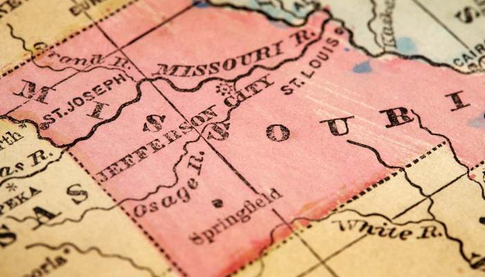
Missouri is a state located in the Midwestern United States.
Nicknamed the “Show Me State”, Missouri is known for its diverse geography, which includes everything from urban areas to rural farmland and Ozark Mountains.
The agricultural industry is a vital part of Missouri’s economy, it ranks in the top five nationally for the production of soybeans, corn, cattle, hogs, and turkeys.
Plant Hardiness Zone Map
Let us study the US Plant Hardiness Zone Map of the state
Plant Hardiness Zone Map for Missouri

Climate
Missouri has humid continental in its northern portion and humid subtropical type of climate in its southern part.
Summers are hot and humid in the state of Missouri with average high temperatures in the range of 80-90°F and often exceeding the mark of 100°F.
Winters are long, cold, and icy in most of the state but mild in the southeast. Nights are often freezing, with temperatures dropping below 0°F in many places.
Precipitation
The annual precipitation in Missouri ranges from an average of 40 inches in the north to 45 inches in the south.
Snowfall is moderate to heavy, with an average of fifteen snowy days in the year that receives 15-20 inches of snowfall.
Soil Type
The map showing the ecoregions of the state is as follows:-

Now let us see the distribution of soil orders across the state using the table below.
Soil Order Of Missouri
| Soil / Sub Order | Location | Characteristics |
|---|---|---|
| Ultisols/Udults | In the Ozark Highlands | 1. Udults are the more or less freely drained, relatively humus-poor Ultisols that have a udic moisture regime. |
| Alfisols/Aqualfs and Udalfs | In the eastern and central parts of the state. | 1. Aqualfs have warm and aquic conditions. 2. Udalfs have a udic moisture regime. |
| Inceptisols/Udepts | On the eastern side across the state boundary. | 1. Udepts are mainly freely drained Inceptisols that have a udic or perudic moisture regime. |
| Entisols/Fluvents and Aquents | Fluvents in some parts of Central irregular plains and interior river lowlands and Aquents in the southeastern region. | 1. Fluvents are the more or less freely drained Entisols that formed in recent water-deposited sediments. 2. Aquents are the wet Entisols. |
| Mollisols/Albolls, Aquolls, and Udolls | Albolls in some parts of central irregular plains while Aquolls and Udolls in the northwestern region of the state. | 1. Albolls are the Mollisols that have both an albic horizon and fluctuating groundwater. 2. Aquolls are the wet Mollisols. 3. Udolls are the more or less freely drained Mollisols of humid climates. |

